New transit priority corridor and more pedestrianisation projects to be launched
The Land Transport Authority (LTA) has been working with local communities to reimagine road infrastructure, to better support public transport, walking and cycling as well as the creation of more community spaces.
2 Our goal is to create more pleasant, welcoming and safer streets in our city centre and neighbourhoods, as well as supporting commuters’ use of greener modes of transport. In this regard, we will look to design new roads, or repurpose existing ones, to create Transit Priority Corridors (TPCs)[1], pedestrianised streets[2], or wider footpaths and cycling paths.
New Transit Priority Corridors in Sin Ming and Tampines
3 Since the completion of the first TPC at Bencoolen Street in 2017, LTA has been planning new TPCs. One example of a recently completed TPC is along Tampines Avenue 1 with the implementation of a dedicated bus lane and cycling paths in July 2021. The 1.7 km TPC has facilitated smoother bus journeys and enhanced cycling connectivity to Tampines West MRT station (Refer to Annex A for more details).
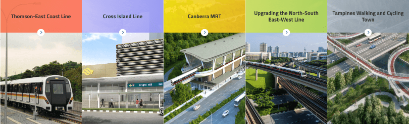
4 We aim to grow the TPC network by approximately 60km by 2030. In the second half of this year, construction will begin on a new TPC along Sin Ming Avenue to connect to the North-South Corridor at Marymount Road and Bright Hill MRT station. The 2-km stretch of TPC will include a dedicated bus lane, new cycling paths and wider footpaths. When fully completed in 2029, residents in Sin Ming area will have more access options to Bright Hill MRT station, which is one of the interchange stations between the Thomson-East Coast Line and Cross Island Line. Recreational spaces such as Bishan-Ang Mo Kio Park and educational institutions such as Ai Tong School and Eunoia Junior College will also be within convenient reach by public transport and active mobility modes (Refer to Annex B for more details).
Repurposing More Road Space for Walking and Cycling
5 Since December 2021, visitors to the Civic District can walk amidst the lush greenery between Esplanade Park, Empress Place and Padang seamlessly, after the closure of Connaught Drive and Fullerton Road/Anderson Bridge to vehicular traffic. In the same month, with the completion of the widening of the footpath along Havelock Road by repurposing on-street parking spaces, residents can now enjoy a safer and more pleasant walking experience around the Beo Crescent neighbourhood centre.
6 The pedestrianisation of Woodlands Ring Road (between Woodlands Drive 71 and Drive 63) next to Kampung Admiralty, a project announced last year, is also on track for completion by the third quarter of 2022.
7 After consultation with local stakeholders, we will launch a 6-month trial to enhance community spaces and walkability in the Tiong Bahru area from end-March 2022. Under the trial, Seng Poh Road, Eng Hoon Street and Lim Liak Street will be repurposed to create wider footpaths and more green spaces, supported by traffic calming measures to slow down traffic and facilitate safer crossings. This will make it safer and more pleasant for pedestrians, particularly near Tiong Bahru Market.
8 Motorists can find alternative parking in the vicinity at Seng Poh Lane and Moh Guan Terrace. The existing taxi stand at Seng Poh Road will also be relocated to Lim Liak Street. Temporary kerbs and planter boxes will be used to close off Eng Hoon Street (between Seng Poh Road and Car Park MBTE23) to create a pedestrianised street (Refer to Annex C for more details).
9 LTA will conduct surveys to seek feedback from the community during the six-month trial. If the community and stakeholders are supportive, the infrastructural changes will be made permanent in Phase Two.
10 LTA will continue studying other suitable areas for road repurposing to encourage more Singaporeans to embrace public transport and active mobility as a preferred mode of travel.