The Land Transport Authority (LTA) and National Parks Board (NParks) will be seeking public views on how the surface streets that will be freed up with the North-South Corridor (NSC) can be enhanced further for accessibility, greenery, and recreational uses.
2 The NSC will be Singapore’s longest Transit Priority Corridor, featuring dedicated bus lanes, cycling trunk routes and pedestrian paths and community spaces at street level. The NSC also forms part of the 34 km Central Corridor, which is one of the island-wide recreational routes that NParks is curating to enable Singaporeans to be immersed in greenery and have more opportunities to explore our island and its green spaces. The Central Corridor is a key spine that will link recreational users to the Round-Island-Route, Coast-to Coast Trails and various other parks and park connectors.
3 To garner views and ideas for designing the accessibility, recreational features and amenities[1] for community spaces, LTA and NParks will co-organise a series of public engagement workshops in various regions along the corridor (Annex A) over a period of about six months from July 2023. The workshops will involve residents and stakeholders living and working along the NSC, and various interest and community groups. Besides participating in the visioning workshops, stakeholders can also contribute their ideas and feedback through a survey[2].
4 Through the workshops and survey, members of public are invited to share their ideas on how the community spaces along the NSC can be rejuvenated to entice people to visit, use, and enjoy the space. LTA also welcomes views on enhancing the connectivity and accessibility of public paths, including on how wayfinding can be improved for pedestrians and cyclists. Insights from the public engagements will be studied and developed into a detailed plan to be unveiled in around 2025.
5 Together with stakeholders, LTA hopes to develop friendly and inclusive public spaces that would enliven communities and encourage them to embrace greener travel modes in their daily lives.
About NSC
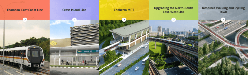
6 The 21.5km North-South Corridor (NSC) is a multi-modal transportation corridor that will enhance connectivity from the northern region to the city, serving towns such as Sembawang, Yishun, Ang Mo Kio, Toa Payoh, Novena and Rochor. It will support new developments in the northern region and alleviate congestion on the Central Expressway (CTE) and major arterial roads such as Thomson and Marymount Roads, facilitating quicker journeys between the north and city. It will also intersect and provide links to existing expressways, including the Seletar Expressway (SLE), Pan-Island Expressway (PIE) and the East Coast Parkway (ECP), to improve the overall connectivity of the road network. With more traffic being channelled to NSC’s 8.8km viaduct and 12.3km tunnel, surface streets along the corridor will be repurposed to give more priority to walking, cycling, public transport, and community spaces. See Annex B for more information on the concepts being explored for the surface streets along NSC.
The NSC is targeted to open in phases from 2027, which will allow residents and stakeholders to benefit as soon as each phase is completed, ahead of the conclusion of the entire project.
When NSC is fully completed, residents and stakeholders can look forward to:
i. Smoother rides for motorists: More traffic will be channelled onto NSC’s elevated viaduct and underground tunnel, relieving congestion along the CTE and surface roads such as Thomson and Marymount Roads. This will result in shorter travel times and smoother journeys.
ii. Greener and faster public transport and active mobility commutes: With surface traffic diverted to the viaduct and tunnel, the surface streets will be transformed to give more priority for walking, cycling and public transport. Measures include bus lanes, through which bus commuters would be able to save up to 15 minutes travelling time from the North to the city, a new cycling trunk route to the city, and more pedestrian routes and barrier-free crossings.
iii. More pleasant and safer streets in neighbourhoods: In addition to providing more priority to walking, cycling and public transport, we will also work with stakeholders on transforming the surface streets of NSC to better meet community needs.
Annex A: Map of NSC alignment and towns it will serve
Annex B: Artist impressions of the concepts being explored for NSC’s surface streets